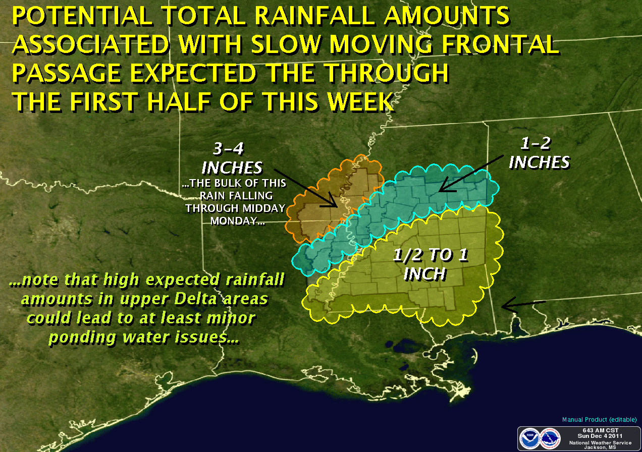
The advancing cold front is moving slower than I originally thought, which means our rains won't start until mid-day today (as opposed to overnight last night). After the front passes, look for temperatures to fall through the week, to the mid-40's for highs, and mid-30's for lows around Wednesday, with continued clouds. Thursday should see a return of sunshine with highs in the 50's, but the clear skies will mean very cold nights toward the weekend.
Be careful for your Monday and Tuesday commute, as locally heavy rainfall can result in ponding of water on the roadway. Give yourself a little extra driving time, and get there safely!
***DO NOT USE THIS WEBSITE AS YOUR SOLE SOURCE OF WEATHER INFORMATION, ESPECIALLY WATCHES AND WARNINGS. THIS WEBSITE DELIVERS FOCUSED INFORMATION FOR A SPECIFIC GEOGRAPHIC AREA AND IS NOT INTENDED TO PROVIDE TIMELY WEATHER WARNING INFORMATION***

No comments:
Post a Comment